Peace of Houston Fact Sheet
Jan 1st, 2010 by admin
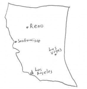
California
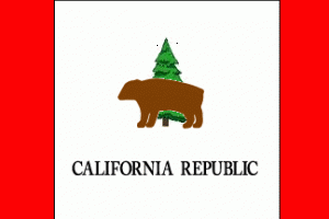 Republic of California
Government: Bicameral legislature with Governor
Capital: Los Angeles
Provinces: California, Desert
Protectorate: Sovereign Nation of Native Americans (U.N.A.)
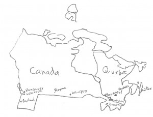
Canada
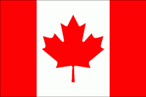 Government: Bicameral parliament with Prime Minister
Capital: Ottawa
Provinces: Alberta, British Columbia, Labrador, Manitoba, New Brunswick, Newfoundland, Nova Scotia, Nunatsiaq, Nunavut, Ontario, Oregon, Prince Edward Island, Saskatchewan, Washington, Yukon
Caribbean Alliance
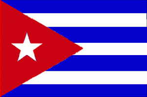 Alliance of Caribbean Nations
Government: El Presidente del Caribe (dictatorship), Unicameral Congress of Nations
Capital: Havana
Nations: Florida, Cuba, Haiti, Dominican Republic, Puerto Rico, Jamaica, Bahamas
*The Caribbean sent an official observer but not take part in the negotiations directly.
Great Plains Nations
 Republic of Great Plains Nations
Government: Unicameral Congress with President
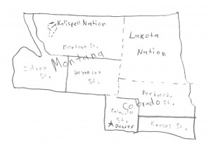
Capital: Denver
States: Idaho, Montana State, Wyoming, Colorado State, Kansas, Nebraska, Dakota
Nations: Kalispell, Lakota, Montana, Colorado
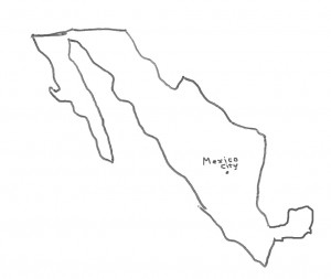
Mexico
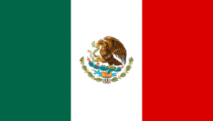 Estados Unidos Mexicanos (United Mexican States)
Government: Bicameral legislature with President
Capital: Mexico City
States: Aguascalientes, Baja California, Baja California Sur, Campeche, Chiapas, Chihuahua, Coahuila, Colima, Federal District, Durango, Guanajuato, Guerrero, Hidalgo, Jalisco, Mesilla, Mexico State, Michoacan, Morelos, Nayarit, Nuevo Leon, Oaxaca, Puebla, Queretaro, Quintana Roo, San Luis Potosi, Sinaloa, Sonora, Tabasco, Tamaulipas, Tlaxcala, Veracruz, Yucatan, Zacatecas
MSA
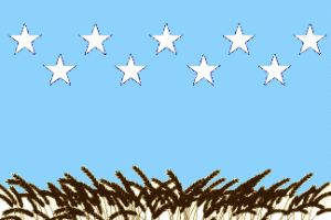 Midwestern States of America
Government: Unicameral House of Representatives with President
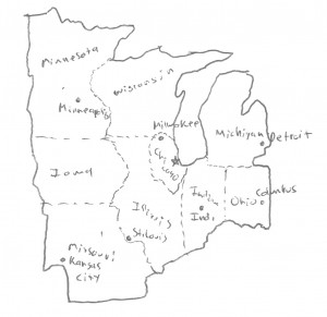
Capital: Chicago
States: Illinois, Missouri, Iowa, Minnesota, Wisconsin, Michigan, Indiana, Ohio, Chicago
Mormon Nation
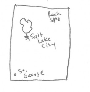
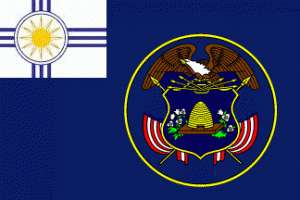 The Mormon Nation of Utah and Associated Territories
Government: Theocratic republic
Capital: Salt Lake City
New England States of America
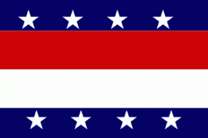 Government: Temporary parliament, called by majority of Governors.
Capital: New York City
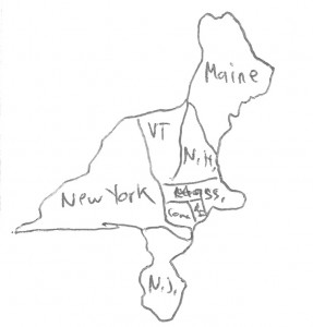
States: South Maine, New Hampshire, Vermont, Connecticut, Rhode Island, Massachusetts, New York, New Jersey.
*The NESA still considers itself technically part of the US, but requires certain assurances from the federal government before returning its congresspeople and military to US control.
Quebec
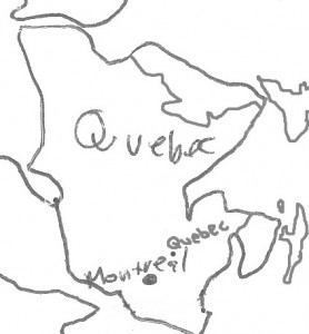
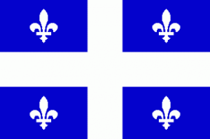 Government: Unicameral National Assembly with Premier
Capital: Quebec City
Régionales: Bas-Saint-Laurent, Saguenay—Lac-Saint-Jean, Capitale-Nationale, Mauricie, Estrie, Montréal, Outaouais, Abitibi-Témiscamingue, Côte-Nord, Nord-du-Maine, Nord-du-Québec, Gaspésie—Îles-de-la-Madeleine, Chaudière-Appalaches, Laval, Lanaudière, Laurentides, Montérégie, Centre-du-Québec
SSA
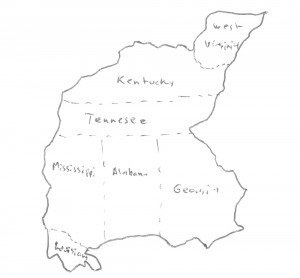
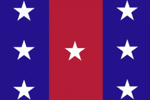 Confederation of the Southern States of America
Government: Bicameral legislature with strong President.
Capital: Jacksonville
States: Alabama, Georgia, Kentucky, Louisiana, Mississippi, Tennessee, West Virginia
Texas
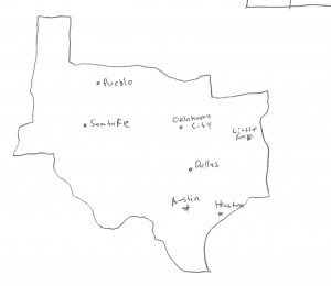
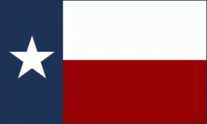 Republic of Texas
Government: Bicameral Legislature with President
Capital: Austin
*Texas has no administrative units larger than the county.
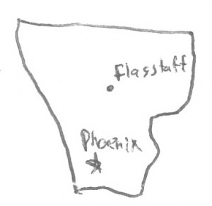
UNA
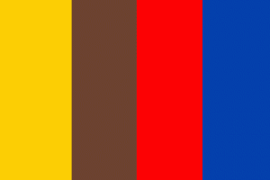 United Native American Enclave
Government: Council of Chiefs
Capital: Phoenix
*The UNA is a UN-supervised organization and does not remove the sovereignty of its individual members.
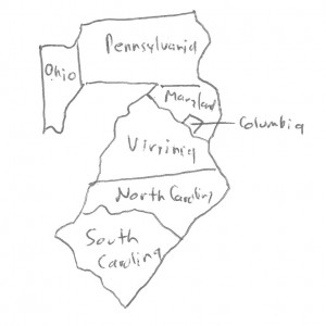
USA
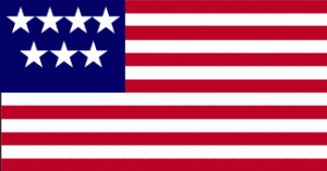 United States of America
Government: Bicameral Legislature with President
Capital: Washington, Columbia
States: Eastern Ohio, Maryland, Pennsylvania, Columbia, Virginia, North Carolina, South Carolina
Not included in Peace of Houston
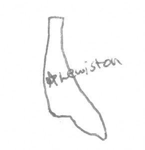
Aryan Nation
 United Nation of Aryan Peoples
Government: Free Nation (limited contact with international community)
Created as a result of the Peace of Houston
North American Union of Sovereign States
Capital: Boston
Federal arbitration organization set up under the supervision of the United Nations.
States: Canada, Great Plains, California, Texas, Midwest, New England, USA, SSA, Mexico, Alaska, Guatemala, Honduras, Panama, Caribbean, Iceland, Quebec,
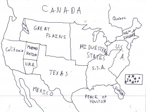
Full Map: This map is mostly accurate, although still meant as a guide, not an official delineation of borders. One major inaccuracy is the northern border of Maine, which is drawn along the old northern end, rather than taking into account the new border between South Maine and Nord-du-Maine.
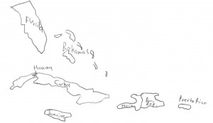
Minor note, the Spanish term for the Carribean is “El Caribe”, so that term, if it is in today’s Spanish, would be “El presidente del Caribe”.
bro your pictures helped me with drawing a map thnx